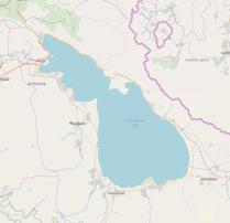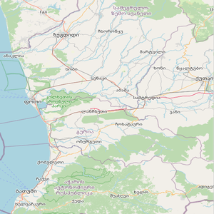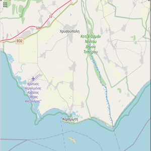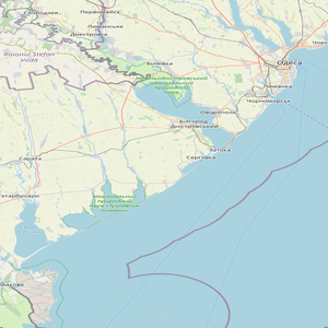

The Custom Mosaic Tool allows users to create detailed true or false color images of given areas using optical data from various Landsat satellites.

Choose how the 'best' pixel will be chosen: Most recent, least recent, median, or min/max NDVI value pixel.

Run powerful time series analyses that composites a series of acquisitions to produce a single image.


