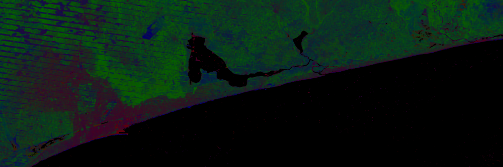
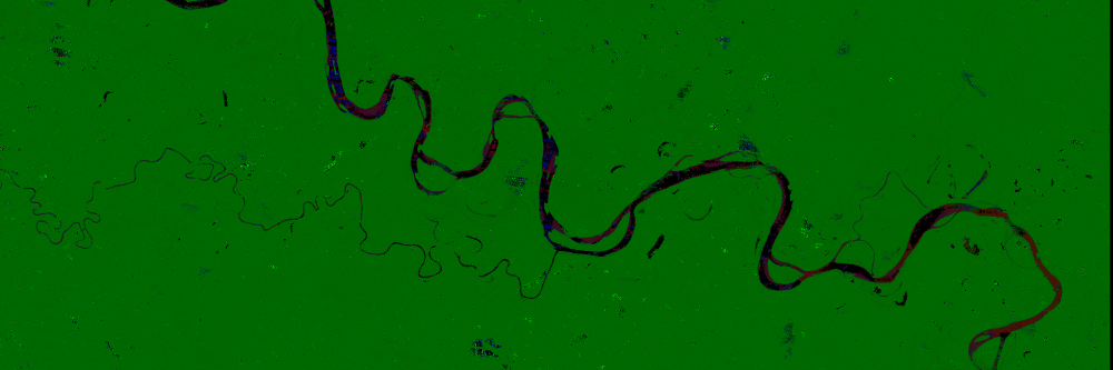
Fractional Coverage
The Fractional Coverage tool allows users to create a three band output product used to visualize the sub pixel composition of selected areas. Pixels are classified as a percentage of photosynthetic vegetation, non-photosynthetic vegetation, and bare soil.
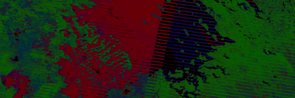
Pixel Preference
Pick a compositing algorithm (most recent, least recent, median, min/max NDVI pixel) that will produce the desired mosaic for the fractional cover application.
Downloads
All products (both data and images) are available for download in various formats, including GeoTIFF, NetCDF, and PNG.