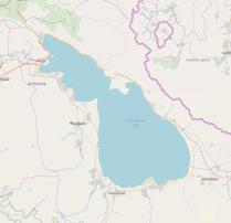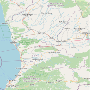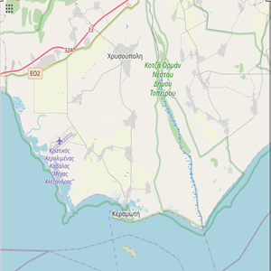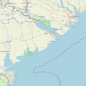

Create a filtered mosaic before analysis to increase accuracy and reduce execution time.

Choose how the 'best' pixel will be chosen: Most recent, least recent, median, or min/max urbanization value pixel.

Visualize area contents with the use of well known remote sensing indices.


